
Connecticut Whole-Area 3D Terrain STL + 3MF | Two Printable Versions - STL and 3MF Bundle
makroudata · Cults3D
$4,39CULTS CU - Commercial Use
Explore the whole-area relief of Connecticut in white shaded previews. This digital download includes a rectangular-base model and a geographic-outline model with a 1 mm back, both as STL and 3MF. It also includes seven renders made from the exported mesh. The print footprint is 200.0 × 146.1 mm. Relief is vertically exaggerated 15.34× for visibility. Numeric USGS 3DEP acquired spacing: 127.3 m; provider is a dynamic multi-resolution mosaic. The outline is cartographic and some fine geographic…
♥ 0
Cults3D'da açBenzer modeller
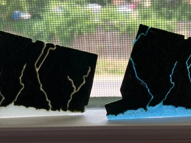
Connecticut, USA (CT) Topographic Map with Hydrographic Features
Printables

Connecticut Sun - WNBA
Cults3D

Cadena Cubana de Connecticut Sun
Cults3D

USA State of Connecticut Topographic Map - 3D Terrain Elevation - Relief Map - Topography of Connecticut
MyMiniFactory

xiaomi mi drone cache connectique
Thingiverse