Grand Teton National Park 3D Terrain Map - Grand Teton, Support-Free Relief
UndercoverBrother · Cults3D
Ticari kullanım: izinli görünmüyorLisans bilgisi ve sorumluluk reddi
Bu özet, kaynak sitedeki lisans adından otomatik çıkarılır; hatalı ya da eksik olabilir ve hukuki tavsiye değildir. PrintedWorks modelleri barındırmaz, lisans vermez ve lisansın doğruluğu ya da modelin kullanımı konusunda hiçbir sorumluluk kabul etmez. Kullanım koşulları için tek geçerli kaynak, modelin Cults3D sayfasındaki lisans ve tasarımcının kendi şartlarıdır.
Put Grand Teton on your shelf: a real-elevation 3D terrain map of Grand Teton National Park (Wyoming) that prints in one piece, flat on the bed, with no supports. **WHAT YOU GET** - One STL: a 13 x 13 km terrain tile on a framed plinth, the Teton range front: the Grand Teton (4,199 m / 13,775 ft) and its neighbours rising straight out of the flat floor of Jackson Hole, with Cascade and Death canyons cut in behind them. - Raised lettering on the front edge, printed in one piece with the base (th…
♥ 0
Cults3D'da açBenzer modeller

Grand Teton (4,199m) 3D Model STL — Commercial License (Print & Resell)
Cults3D
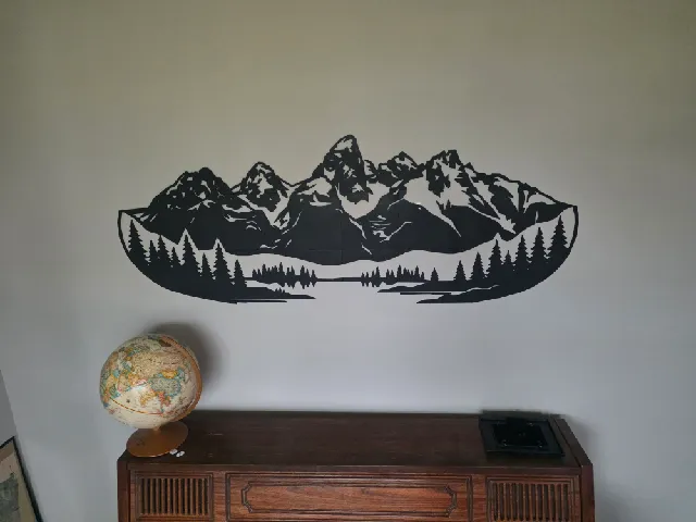
Giant Wall Art - Grand Tetons (1.5 meters long!)
Printables

Grand Theft Auto San Andreas Decor
Printables
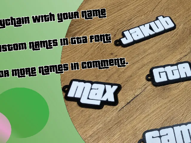
Grand Theft Auto (GTA) keychain with custom name
Printables
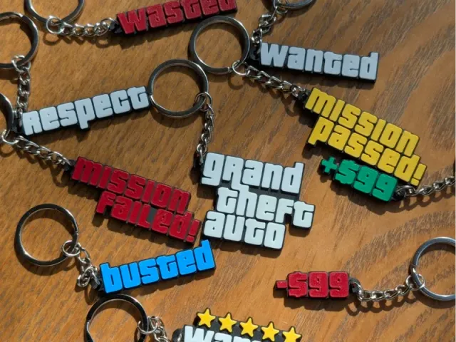
Grand Theft Auto - Keychain Set
Printables
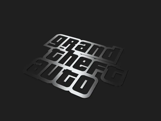
Grand Theft Auto (GTA) Logo
Printables

Grand Theft Auto Decor
Printables

Grand Flame Dragon
Thingiverse
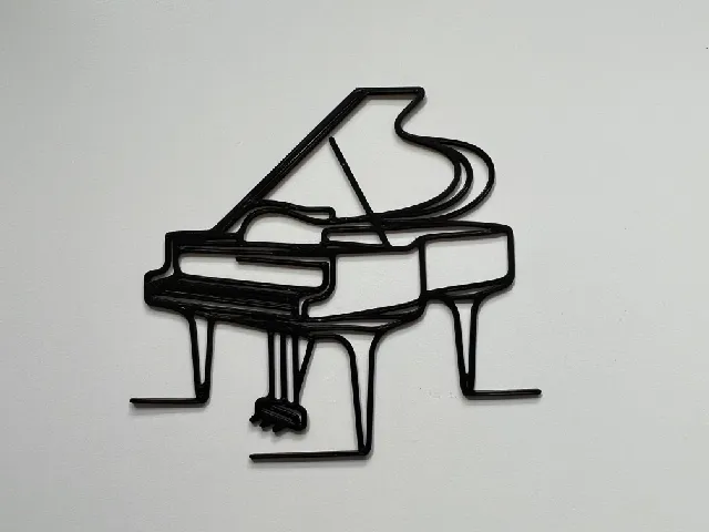
Grand Piano Wall Art #1
Printables
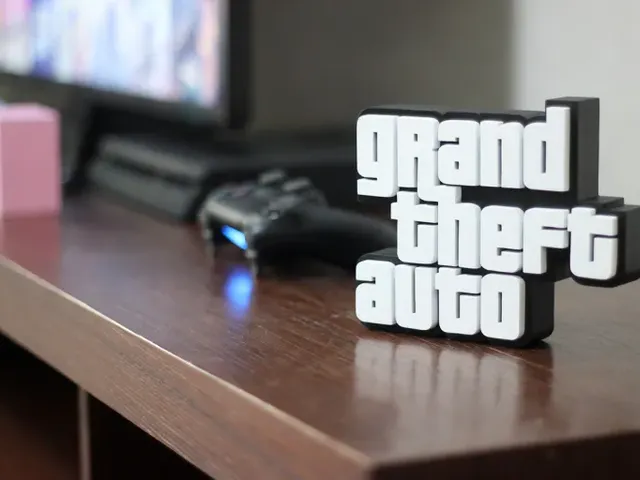
Grand Theft Auto decor display
Printables
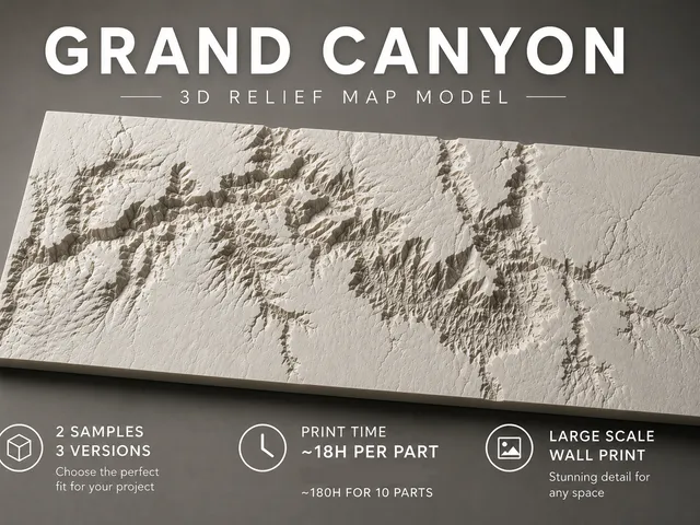
Grand Canyon Relief Map
Printables

Grand-Master of the Red-Cross pathfinder DnD D&D
Thingiverse