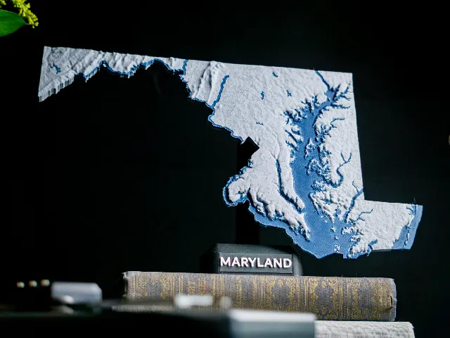
Maryland, USA (MD) Topographic Map with Rivers
Anson Liu · Printables
ÜcretsizCreative Commons — Attribution — Share Alike
A dual color topographic map of Maryland, USA that includes mountains, streams, and lakes.
♥ 40 · ↓ 412
Printables'da açBenzer modeller

USA State of Maryland Topographic Map - 3D Terrain Elevation - Relief Map - Topography of Maryland
MyMiniFactory
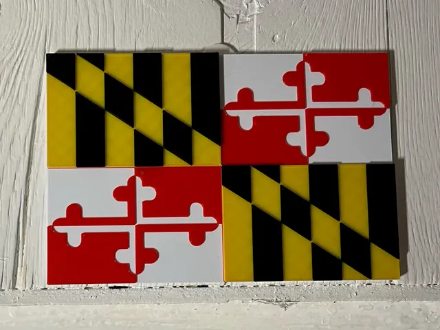
Maryland flag (no mmu needed)
Printables

Maryland Terps Cookie Cutter
Thingiverse

Maryland Whole-Area 3D Terrain STL + 3MF | Two Printable Versions - STL and 3MF Bundle
Cults3D
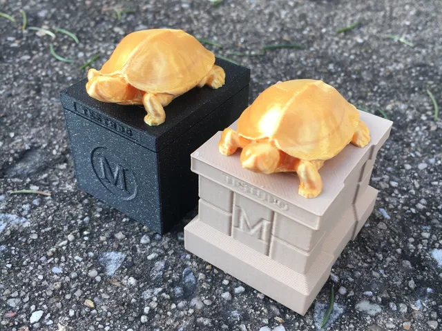
University of Maryland Testudo Statue Collection
Printables

Baltimore, Maryland
Thingiverse

Ravens Oversized 3D Fan Logo Pendant
Printables

Black Eyed Susan Cookie Cutter STL File - 4 inches
Cults3D
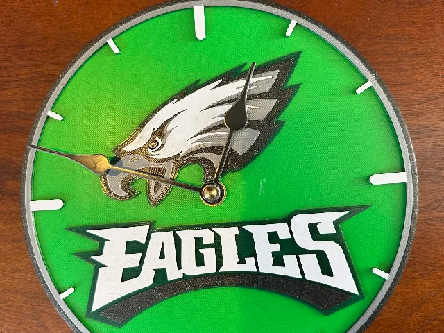
Philadelphia Eagles Clock
Printables

Kansas City Chiefs Clock
Printables
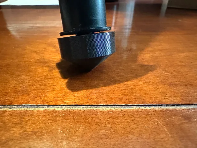
Tripod / Monopod Foot
Printables
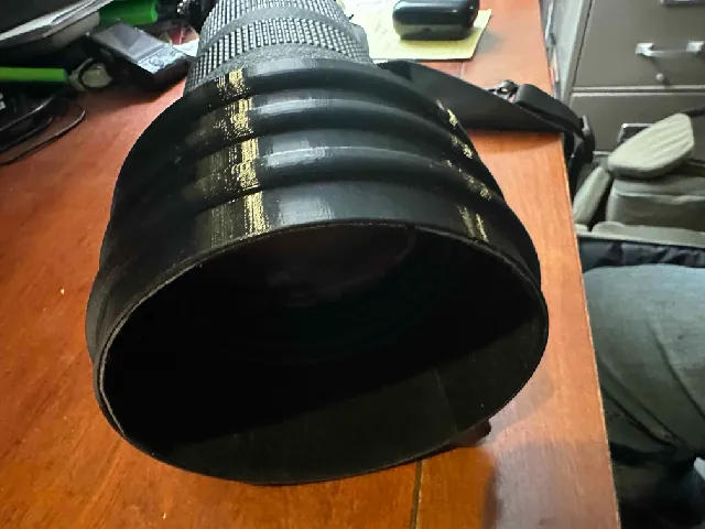
Shortened Lens Hood for NIKON 500mm Prime Lens
Printables