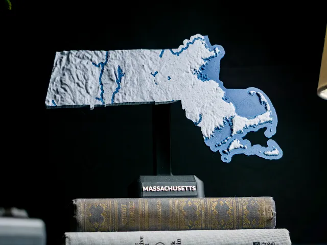
Massachusetts, USA (MA) Topographic Map with Hydrographic Features
Anson Liu · Printables
ÜcretsizCreative Commons — Attribution — Share Alike
A dual color topographic map of Massachusetts, USA that includes coastal waters, islands, streams, and lakes.
♥ 32 · ↓ 323
Printables'da açBenzer modeller

USA State of Massachusetts Topographic Map - 3D Terrain Elevation - Relief Map - Topography of Massachusetts
MyMiniFactory
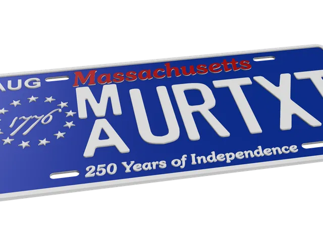
Massachusetts License Plate Parametric Text
Printables

Massachusetts Whole-Area 3D Terrain STL + 3MF | Two Printable Versions - STL and 3MF Bundle
Cults3D

Logo for Massachusetts Institute of Technology or MIT
Printables

Boston Skyline
Printables

WPI Logo
Printables

John Quincy Adams #RoZ
Cults3D

John Adams #RoZ
Cults3D