
Michigan Topographic 3D Map - Terrain Model for 3D Printing
rmarrs · Cults3D
$5,00CULTS PU - Private Use
Michigan topographic map: a printable topographic (elevation) relief map of the State of Michigan, both peninsulas. This is a single-piece STL for FDM printing. Scale it in your slicer to fit your bed; it prints well as a desk or shelf piece or as wall art. Printing tips: 0.12-0.2 mm layers, 15-20% infill, any PLA works. For a colour-by-depth look, add colour changes at chosen layer heights in your slicer. Data: NOAA National Centers for Environmental Information (NCEI) Great Lakes Bathymetry;…
♥ 0
Cults3D'da açBenzer modeller

Michigan Topographic 3D Map with Isle Royale - Terrain Model for 3D Printing
Cults3D

Michigan Topographic Map with Great Lakes Depth - Combined Land and Lake 3D Print
Cults3D

Lake Michigan 3D Depth Map - Bathymetry Model for 3D Printing
Cults3D

Michigan Topographic Map with Great Lakes Depth and Lake Names - Multicolor 3MF
Cults3D

Lake Erie 3D Depth Map - Bathymetry Model for 3D Printing
Cults3D
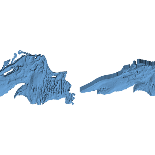
Lake Superior 3D Depth Map - Bathymetry Model for 3D Printing
Cults3D

Lake Huron 3D Depth Map - Bathymetry Model for 3D Printing
Cults3D

Lake St. Clair 3D Depth Map - Bathymetry Model for 3D Printing
Cults3D

Michigan Map
Thingiverse
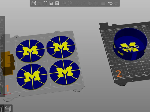
University of Michigan Coasters and Holder set
Printables

Downtown Detroit Top-Down City Map, Multicolor 3MF for Bambu AMS (Streets, Buildings, River, Landmarks)
Cults3D