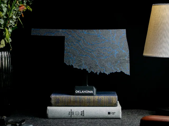
Oklahoma, USA (OK) Topographic Map with Rivers
Anson Liu · Printables
ÜcretsizCreative Commons — Attribution — Share Alike
A dual color topographic map of Oklahoma, USA that includes mountains, streams, and lakes.
♥ 42 · ↓ 400
Printables'da açBenzer modeller

USA State of Oklahoma Topographic Map - 3D Terrain Elevation - Relief Map - Topography of Oklahoma
MyMiniFactory
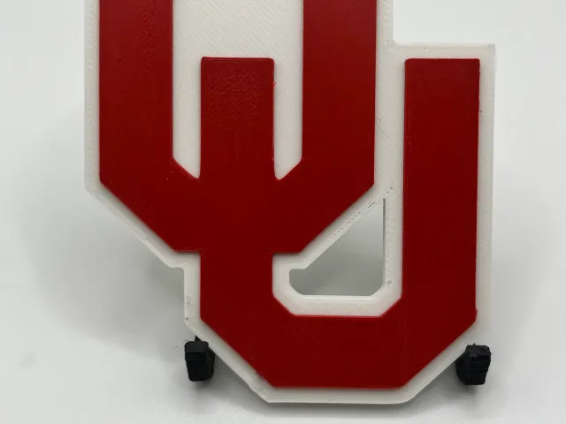
University of Oklahoma Sooners Logo
Printables
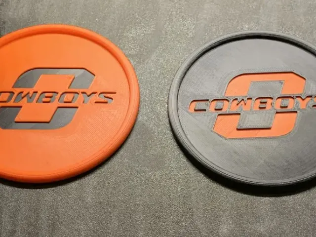
Oklahoma State University Coaster
Printables
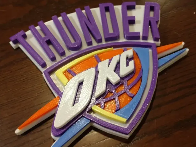
Oklahoma City Thunder Multi-Part Remix
Printables

Oklahoma State (OSU) Cowboys keychain
Thingiverse

Oklahoma State Pistol Pete
Thingiverse

Oklahoma State Athletic Official Logo
Thingiverse

Oklahoma sooners
Thingiverse

Oklahoma Sooners
Thingiverse

OKLAHOMA SOONERS INSPIRED HYPE CHAIN
Cults3D
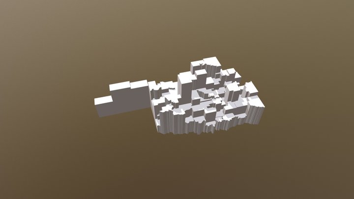
Oklahoma Tornado Count by Counties 1950 - 2017
Sketchfab

Oklahoma Whole-Area 3D Terrain STL + 3MF | Two Printable Versions - STL and 3MF Bundle
Cults3D