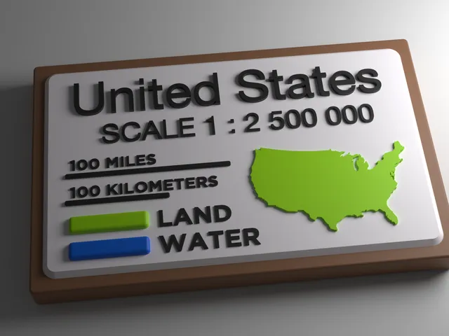
USA Map Legend 100% XY scale (1:2500000) - for dual color maps
Anson Liu · Printables
ÜcretsizCreative Commons — Attribution — Share Alike
Ticari kullanım: izinli görünüyor · Atıf istiyorLisans bilgisi ve sorumluluk reddi
Bu özet, kaynak sitedeki lisans adından otomatik çıkarılır; hatalı ya da eksik olabilir ve hukuki tavsiye değildir. PrintedWorks modelleri barındırmaz, lisans vermez ve lisansın doğruluğu ya da modelin kullanımı konusunda hiçbir sorumluluk kabul etmez. Kullanım koşulları için tek geçerli kaynak, modelin Printables sayfasındaki lisans ve tasarımcının kendi şartlarıdır.
Printable map legend for the USAofPlastic 3D Topographic Map collection when printed at default 100% XY scale.
♥ 4 · ↓ 18
Printables'da açBenzer modeller

USA Map Legend 100% XY scale (1:2500000) - for single color maps
Printables
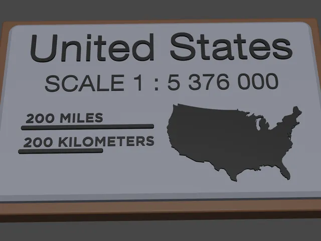
USA Map Legend 46.5% XY scale (1:5376000) - for single color maps
Printables
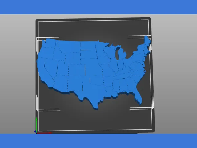
USA Map Vector
Printables

USA Map Puzzle
Thingiverse

USA States Relief Map - 50 States Raised, Stepped Wall Art - 210 / 250 / 400 mm
Cults3D
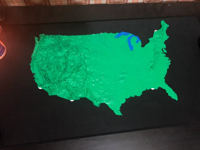
USA Topology Map
Printables
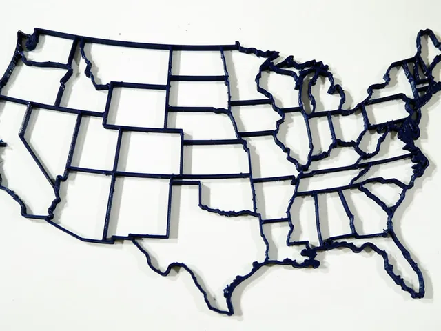
USA States Map (Continental)
Printables
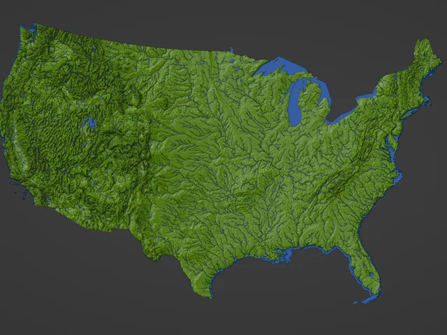
Contiguous USA (Lower 48) Topographic Map with Hydrographic Features + Cura Print Settings Profile
Printables

USA State of Michigan Topographic Map - 3D Terrain Elevation - Relief Map - Topography of Michigan
MyMiniFactory

USA State of Minnesota Topographic Map - 3D Terrain Elevation - Relief Map - Topography of Minnesota
MyMiniFactory

USA State of Texas Topographic Map - 3D Terrain Elevation - Relief Map - Topography of Texas
MyMiniFactory

USA State of Arizona Topographic Map - 3D Terrain Elevation - Relief Map - Topography of Arizona
MyMiniFactory