
Hungary Country Topographic Map - 3D Terrain Elevation - Relief Map - Topography of Hungary
Robin Schmezko · MyMiniFactory
$15,00MyMiniFactory Digital File Store License
This is a topographic 3D model of the terrain of XYZ. The 3D model is in STL file format and therefore compatible with CNC routers and 3D printers. The elevation of topographical features like mountains and rivers in this 3D Map has been exaggerated to better highlight the topography of XYZ. ► High qualityOur stl 3d model files have been optimized to work with CNC routers, 3D fdm printers and 3D resin printers. These 3D models have a very high mesh density, meaning that you can use them for 3D…
♥ 0
MyMiniFactory'da açBenzer modeller

Hungary Whole-Area 3D Terrain STL + 3MF | Two Printable Versions - STL and 3MF Bundle
Cults3D

Steyr Mannlicher M1895 28mm
MyMiniFactory

28 mm generic stowage
MyMiniFactory
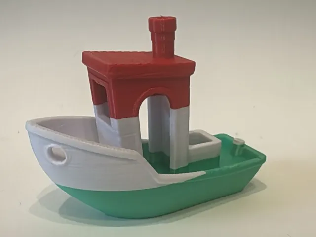
Hungary Flag Benchy
Printables

Hungary Cookie Cutter set 0856
MyMiniFactory

Heraldry - Hungary
Printables
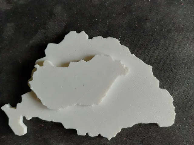
Great Hungary, Nagy-Magyarország, Pre-Trianon Hungary
Printables
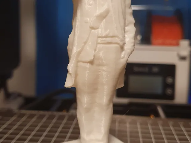
Columbo statue Hungary photogrammetry (3D scan)
Printables

Nadasdy castle - Hungary
Sketchfab
43M Zrínyi WW2 Hungary
MyMiniFactory

38M Toldi WW2 Hungary
MyMiniFactory

Banners of the Black Army of Hungary & other provincial flags / 1458-1494
MyMiniFactory
