
Hungary Whole-Area 3D Terrain STL + 3MF | Two Printable Versions - STL and 3MF Bundle
makroudata · Cults3D
$3,27CULTS CU - Commercial Use
Explore the whole-area relief of Hungary in white shaded previews. This digital download includes a rectangular-base model and a geographic-outline model with a 1 mm back, both as STL and 3MF. It also includes seven renders made from the exported mesh. The print footprint is 200.0 × 121.2 mm. Relief is vertically exaggerated 20× for visibility. GEDTM30 predicted bare-earth source has an approximately 30 m native grid; this acquired country crop is 794 × 332 cells at approximately 987 m north–so…
♥ 0
Cults3D'da açBenzer modeller
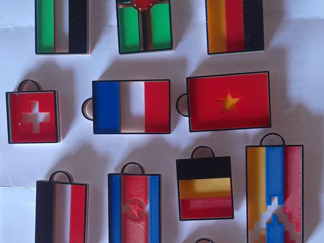
Flag keychains of the whole world
Printables
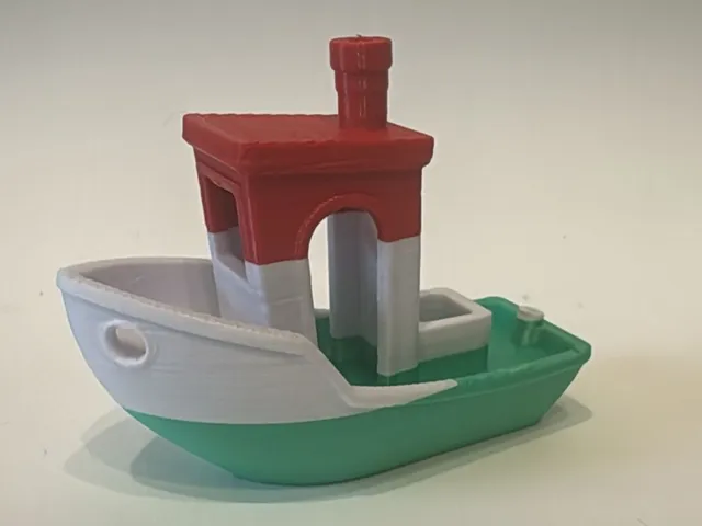
Hungary Flag Benchy
Printables

Hungary Cookie Cutter set 0856
MyMiniFactory

Hungary Country Topographic Map - 3D Terrain Elevation - Relief Map - Topography of Hungary
MyMiniFactory

Heraldry - Hungary
Printables
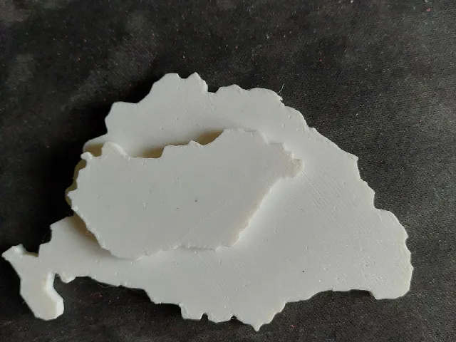
Great Hungary, Nagy-Magyarország, Pre-Trianon Hungary
Printables
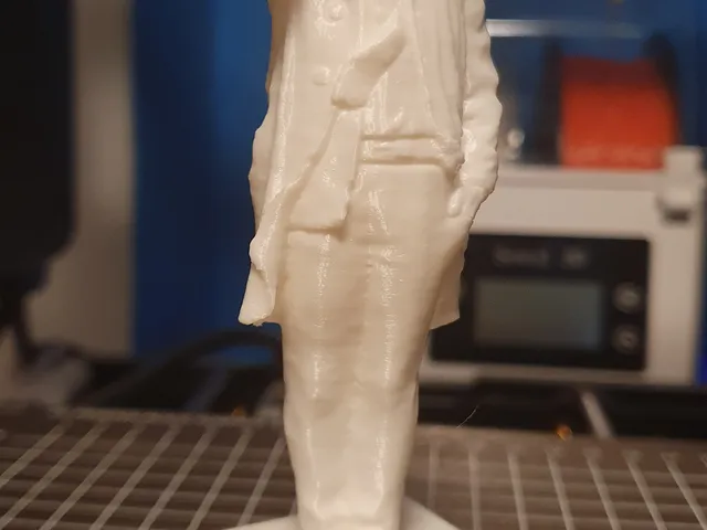
Columbo statue Hungary photogrammetry (3D scan)
Printables

Nadasdy castle - Hungary
Sketchfab
43M Zrínyi WW2 Hungary
MyMiniFactory

38M Toldi WW2 Hungary
MyMiniFactory

Banners of the Black Army of Hungary & other provincial flags / 1458-1494
MyMiniFactory

Turán II (MT, Hungary, WWII, 1943)
MyMiniFactory
