Benzer modeller
/https://fbi.cults3d.com/uploaders/21665486/illustration-file/ed9e427b-e855-40e4-b037-7ef6071e937a/01-7e39eb5d-ocean-depth-map-bathymetry-wall-art-47bb94b5-01.jpg)
Ocean Depth Relief — Bathymetry Voronoi Wall Panel
Cults3D

Lake Tahoe Bathymetry Wall Relief — Layered Depth Map
MyMiniFactory
/https://fbi.cults3d.com/uploaders/13644293/illustration-file/ff4ad19b-8318-45fe-a11f-999c21067506/cover.png)
Lake Erie 3D Depth Map - Bathymetry Model for 3D Printing
Cults3D
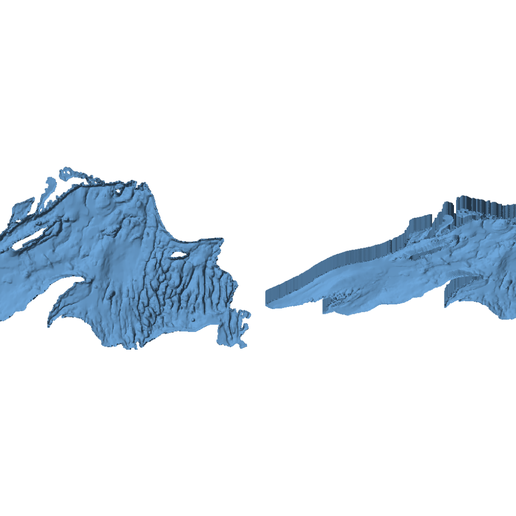
/https://fbi.cults3d.com/uploaders/13644293/illustration-file/392c0164-3d59-4aee-a98f-324b1e700c29/cover.png)
Lake Superior 3D Depth Map - Bathymetry Model for 3D Printing
Cults3D
/https://fbi.cults3d.com/uploaders/13644293/illustration-file/8a6fc3ae-7f54-4ded-8988-89a1779ec662/cover.png)
Lake Huron 3D Depth Map - Bathymetry Model for 3D Printing
Cults3D
/https://fbi.cults3d.com/uploaders/13644293/illustration-file/a45d7bce-374c-4f1c-8ab1-938fce903e9e/cover.png)
Lake Michigan 3D Depth Map - Bathymetry Model for 3D Printing
Cults3D
/https://fbi.cults3d.com/uploaders/13644293/illustration-file/9ca7d050-8520-428d-9ad5-a1eb45a71039/cover.png)
Lake St. Clair 3D Depth Map - Bathymetry Model for 3D Printing
Cults3D

Santorini Caldera Relief — Islands and Seabed Map
MyMiniFactory
/https://fbi.cults3d.com/uploaders/13644293/illustration-file/db3f1023-2845-4f68-8e5d-09c041aaea20/cover.png)
Michigan Topographic Map with Great Lakes Depth and Lake Names - Multicolor 3MF
Cults3D
/https://fbi.cults3d.com/uploaders/13644293/illustration-file/de6af9c7-c4c5-4da3-8286-177b28b32a91/cover.png)
Michigan Topographic Map with Great Lakes Depth - Combined Land and Lake 3D Print
Cults3D
/https://fbi.cults3d.com/uploaders/13644293/illustration-file/41ed1a83-1212-4fbe-a2f6-5f66b58a25e8/cover.png)
Michigan Topographic 3D Map with Isle Royale - Terrain Model for 3D Printing
Cults3D
/https://fbi.cults3d.com/uploaders/13644293/illustration-file/20e1da3f-c941-4aa0-b3e8-dfe212f745ca/cover.png)
Michigan Topographic 3D Map - Terrain Model for 3D Printing
Cults3D